Start slowly, with one place. Find a view and a small meal.
尾道市
Easy walkLocal sceneryA small meal
Hi, I’m Tabi!
Onomichi offers Hiroshima’s channel, hills and temples. Start around Senkoji hill; there is no need to combine the city and islands into a single day’s walk.
This guide covers places within Onomichi, rather than places immediately beside your app check-in.
01 · EXPLORE
Two places to begin
Two different places: start with whichever interests you.
01
A first-visit stop
Senkoji Park views
千光寺公園の眺め
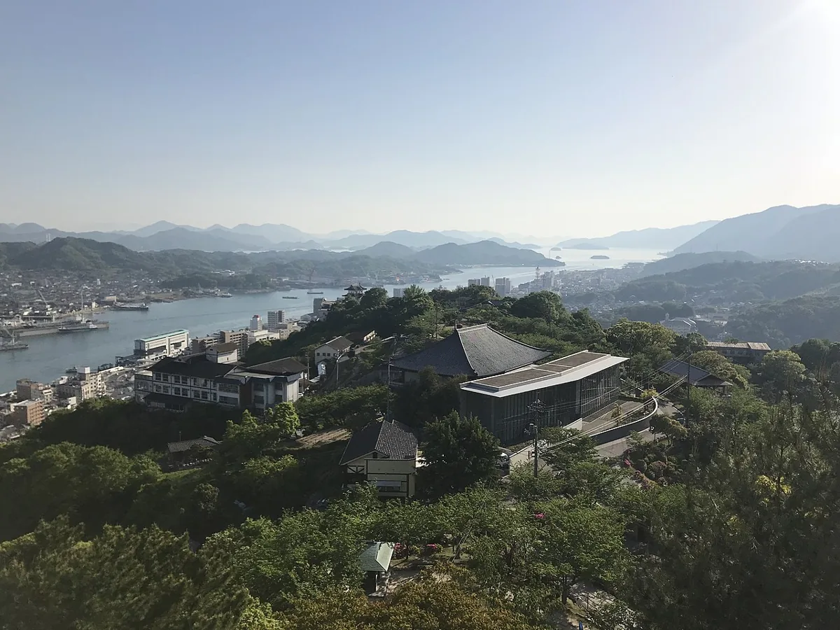
A hilltop park with channel and island views. The April 2018 photograph was taken from the former observation deck and does not depict the current PEAK building. Check current viewing-facility guidance.
Getting there Check the current approach and return transport on the map.
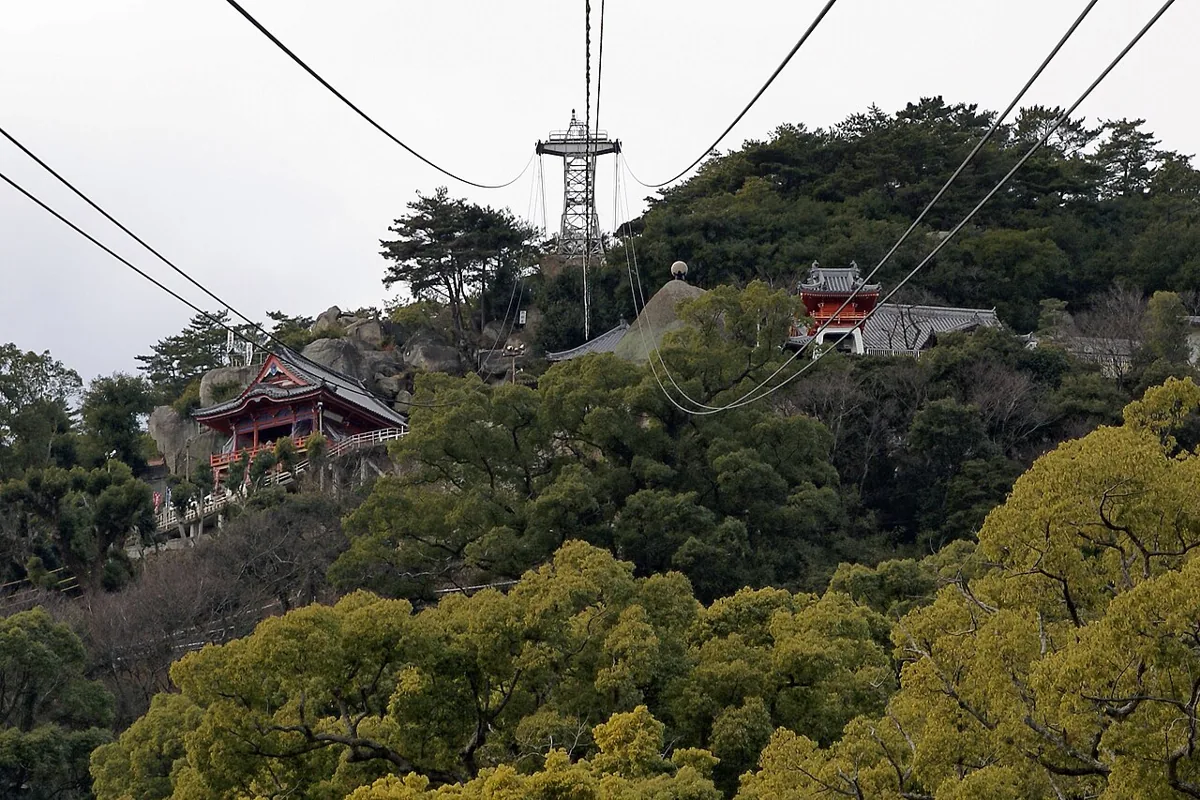
A temple on the same hill with a red main hall and channel views, pictured in February 2008. It is a separate stop from the park; check slopes, steps and worship and photography guidance.
Getting there Check the current approach and return transport on the map.
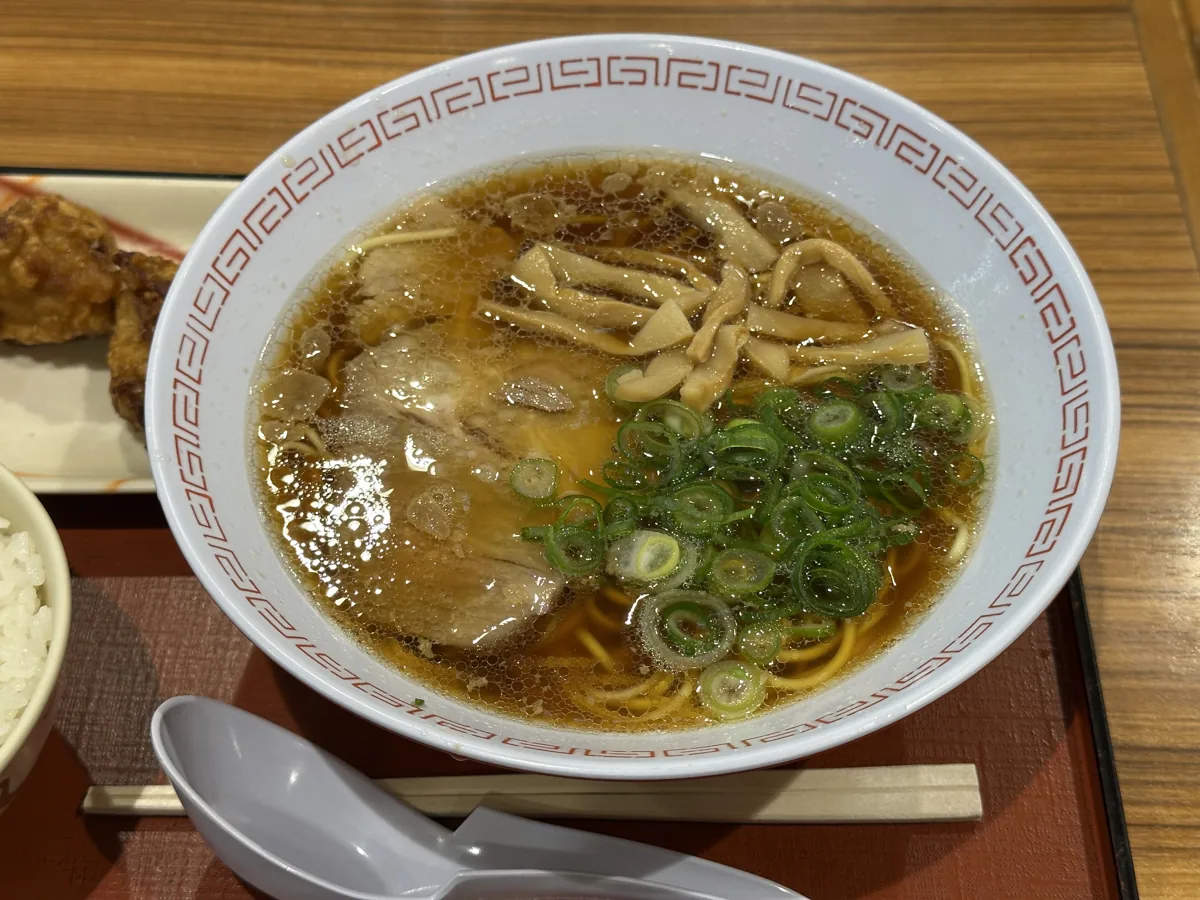
A dish example, without a restaurant endorsement or guarantee of current menus or prices.
Onomichi ramen is described with soy and fish stock, flat noodles and pork fat. The February 2025 photograph is a dish example. Recipes vary; no restaurant endorsement or current menu or price is guaranteed.
Choose the hilltop view or temple first. Check walking slopes and steps or current ropeway operation and plan your return. The photographed view is not guaranteed in every weather condition.
Resized, metadata removed and converted to WebP; display crops vary by screen. Adapted CC BY-SA photos retain the original license.
Photos are historical material dated in the credits, not a guarantee of present scenery or operation. Places without photos use decorative name panels.


 01
01