Start slowly, with one place. Find a view and a small meal.
神流町
Local historyFirst-visit planCheck transport
Hi, I’m Tabi!
Kanna lies among Gunma mountains and the Kanna River valley. Its roadside station and dinosaur center offer scenery and geological stories. Check separate transport and return services; river access is not permission to swim.
This guide covers places within Kanna, rather than places immediately beside your app check-in.
01 · EXPLORE
Two places to begin
Two different places: start with whichever interests you.
01
A first-visit stop
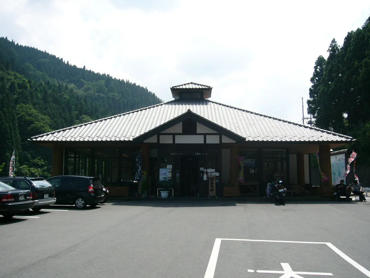
Roadside Station Manyo-no-Sato
道の駅 万葉の里
A rest facility for Kanna River scenery, produce and food. The 2004 exterior photograph does not show today’s terrace or bridge. Follow current riverside access and facility rules.
Getting there Check Nihon Chuo bus connections from JR Shinmachi Station, current timetables and return services; follow local riverside access guidance.
Explore dinosaur skeletons, fossils and local research. Check current reservations and arrangements for excavation or replica activities. Museum viewing and outdoor fossil locations are separate visits; do not collect fossils without permission.
Getting there Check the Okutano bus route from Gunma-Fujioka or Shinmachi Station to the Dinosaur Center stop, with current timetables and road conditions.
Town guidance introduces soba, seasonal vegetables, honey and miso at Manyo-no-Sato. Check allergens including buckwheat, ingredients, origin and season; not every product is guaranteed locally produced or available daily.
Resized, metadata removed and converted to WebP; display crops vary by screen. Adapted CC BY-SA photos retain the original license.
Photos are historical material dated in the credits, not a guarantee of present scenery or operation. Places without photos use decorative name panels.


 01
01
