Start slowly, with one place. Find a view and a small meal.
みなかみ町
Local historyFirst-visit planCheck transport
Hi, I’m Tabi!
Minakami combines mountains, the Tone River and hot springs in Gunma. A roadside station provides a gentle start with riverside scenery and tourist information. For mountain views, first check road restrictions, weather and return transport.
This guide covers places within Minakami, rather than places immediately beside your app check-in.
01 · EXPLORE
Two places to begin
Two different places: start with whichever interests you.
01
A first-visit stop
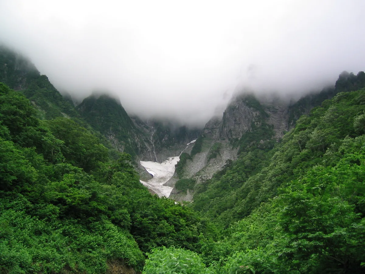
Ichinokurasawa Deai
一ノ倉沢出合
A viewpoint toward Tanigawadake’s rocky valley. The image dates to June 2003 and guarantees no current snow, clouds or access. The approach road has vehicle restrictions: check seasonal closures and bus operation. Valley viewing and rock climbing are separate activities.
Getting there Check seasonal electric buses from Tanigawadake Mountain Museum and road restrictions; do not assume you can drive to the viewpoint.
A facility near the Tone River with tourist information, local products and fish learning. Check separate arrangements for the shop, aquatic learning area and foot bath, including winter restrictions. Riverside walking is not unrestricted swimming or water sport without equipment.
Getting there Check current bus or taxi connections from Minakami or Jomo-Kogen station and return transport.
Gunma’s tourism guide lists Minakami dam curry and mochibuta pork dishes as examples at Mizukikokan. Check actual menus, ingredients, allergens and availability locally. No specific restaurant’s current price or rating is guaranteed.
Resized, metadata removed and converted to WebP; display crops vary by screen. Adapted CC BY-SA photos retain the original license.
Photos are historical material dated in the credits, not a guarantee of present scenery or operation. Places without photos use decorative name panels.


 01
01
