Start slowly, with one place. Find a view and a small meal.
片品村
Local historyFirst-visit planCheck transport
Hi, I’m Tabi!
Katashina offers highlands and mountain-village produce in Gunma. Begin with Marunuma Kogen’s seasonal facilities or Roadside Station Oze Katashina. Treat summit hiking as a separate plan from visiting facilities.
This guide covers places within Katashina, rather than places immediately beside your app check-in.
01 · EXPLORE
Two places to begin
Two different places: start with whichever interests you.
01
A first-visit stop
Marunuma Kogen
丸沼高原
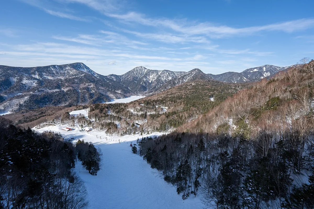
A highland facility for mountain views and seasonal outdoor activities. The photo shows its ski area in winter 2023, rather than current snow. Distinguish green-season facilities from winter skiing and check ropeway, trail and equipment requirements.
Getting there Check the operator’s current seasonal access guide; do not assume winter shuttles operate in other seasons.
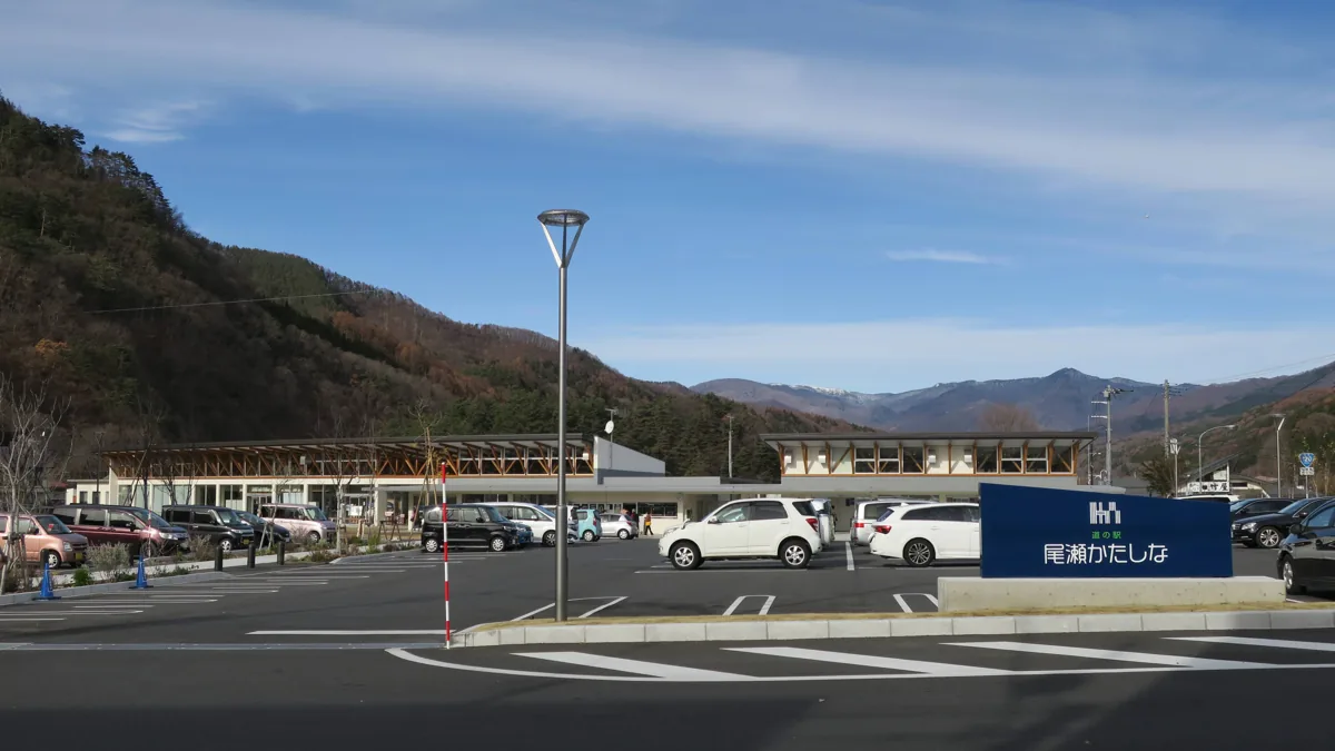
A roadside rest facility with Katashina produce and tourist information. The dining area, farm shop and outlook terrace may have different arrangements. The photo shows the exterior in 2018 and guarantees no current menu or facility operation.
Getting there Check Oze-bound bus connections from Numata Station to Kamada, with current timetables and return services.
Hanamame beans are a Katashina specialty used in cooked-bean dishes, sweets and puddings. Check actual availability and ingredients, including milk, egg and wheat allergens in puddings or bread. Recipes vary between products.
Resized, metadata removed and converted to WebP; display crops vary by screen. Adapted CC BY-SA photos retain the original license.
Photos are historical material dated in the credits, not a guarantee of present scenery or operation. Places without photos use decorative name panels.


 01
01