Start slowly, with one place. Find a view and a small meal.
新城市
Easy walkLocal sceneryA small meal
Hi, I’m Tabi!
Shinshiro in Aichi’s Okumikawa region offers rivers, mountains and temple scenery. Start at Sakurabuchi Park; Horaiji needs separate transport and preparation for mountain conditions.
This guide covers places within Shinshiro, rather than places immediately beside your app check-in.
01 · EXPLORE
Two places to begin
Two different places: start with whichever interests you.
01
A first-visit stop
Sakurabuchi Park
桜淵公園
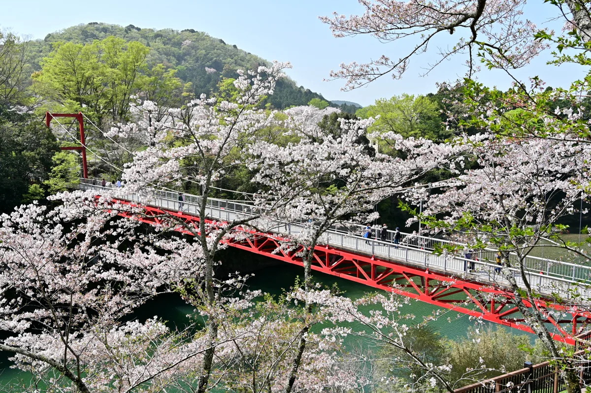
A park beside the Toyogawa River, pictured with Kasaiwa Bridge in March 2021. Blossom conditions vary; use open pedestrian areas and follow riverside restrictions.
Getting there Check the current approach and return transport on the map.
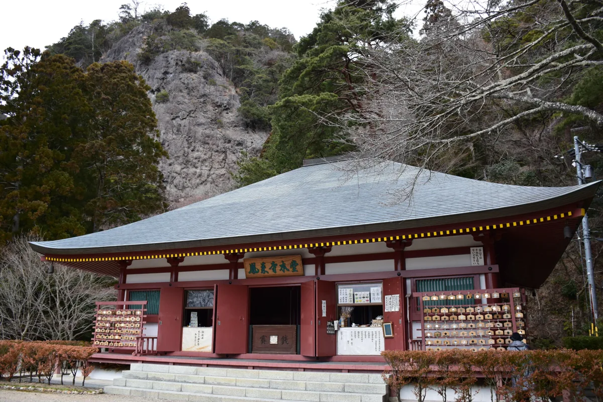
A temple on the mountainside requiring preparation for steps and slopes, pictured at its main hall in February 2015. Check current access, including the tourism site’s Route 32 restriction notice, and plan separately from the park.
Getting there Check the current approach and return transport on the map.
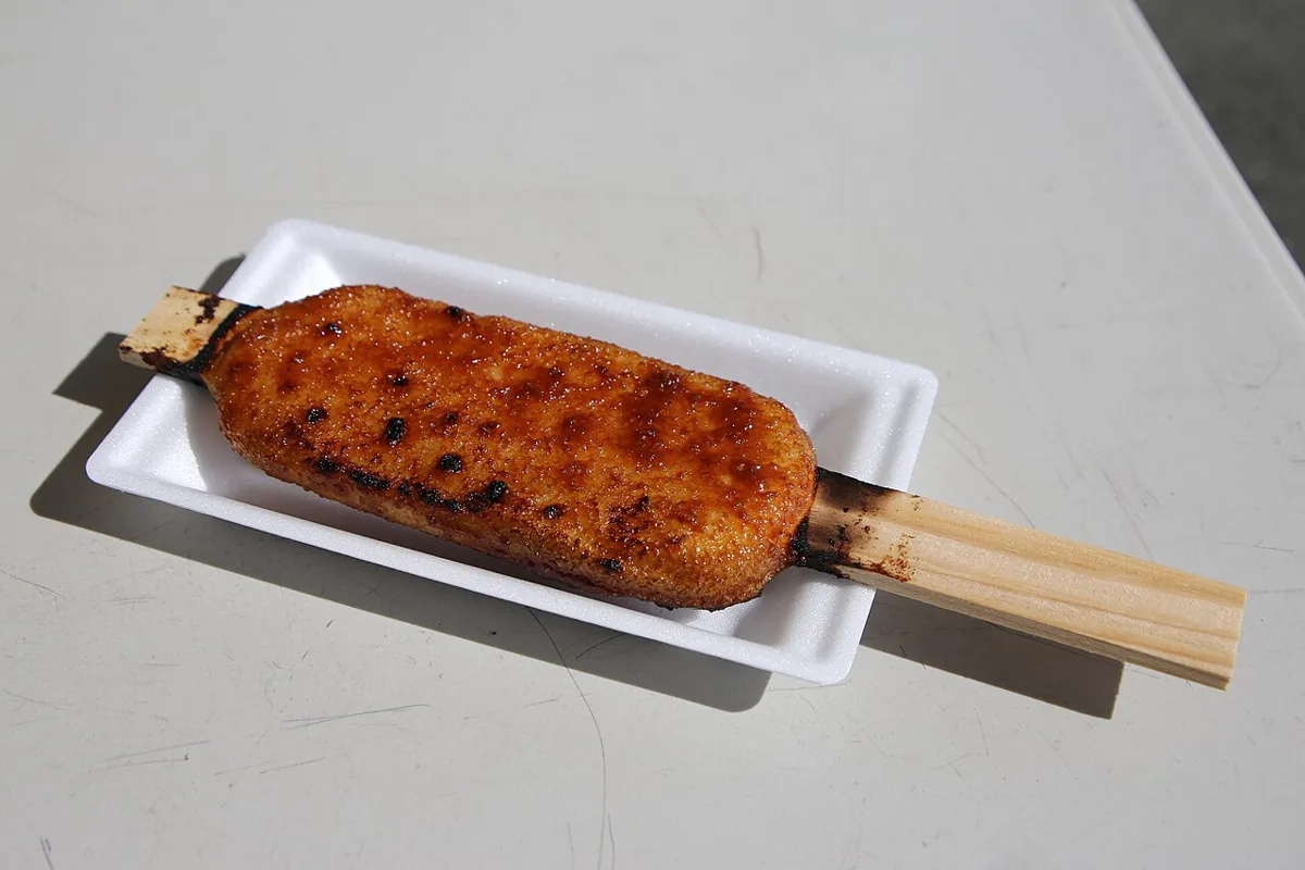
A regional food example; not a shop endorsement or a guarantee of current menus or prices.
Gohei mochi is skewered rice grilled with a sauce, featured in Shinshiro’s tourism guidance as Okumikawa food. This example was photographed in Yatsuhō, Shinshiro, in 2024; it does not endorse a shop or guarantee current menus or prices. Ask about sauce ingredients.
Enjoy waterside and bridge views from open park paths. Keep out of the river and restricted paths, and check return transport. You do not need to walk all the way to Horaiji.
Resized, metadata removed and converted to WebP; display crops vary by screen. Adapted CC BY-SA photos retain the original license.
Photos are historical material dated in the credits, not a guarantee of present scenery or operation. Places without photos use decorative name panels.


 01
01