Start slowly, with one place. Find a view and a small meal.
木曽岬町
Local historyFirst-visit planCheck transport
Hi, I’m Tabi!
Take a break in Kisosaki, Mie, a town shaped by rivers and embankments. Its cherry-lined route and riverside park change with the seasons.
This guide covers places within Kisosaki, rather than places immediately beside your app check-in.
01 · EXPLORE
Two places to begin
Two different places: start with whichever interests you.
∿鍋田川堤桜並木∿
01
A first-visit stop
Nabeta River Cherry-lined Embankment
鍋田川堤桜並木
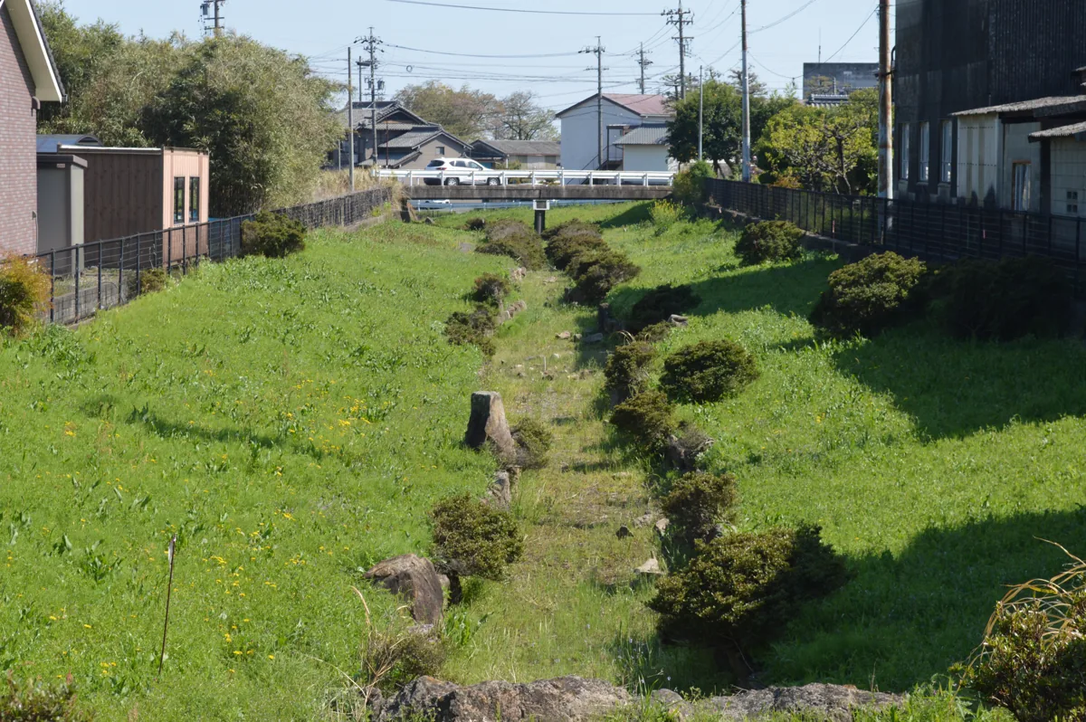
Cherry trees line this river along the Aichi border. The photo above shows part of the Nabeta River, rather than the avenue in bloom. Check flowering and current access information, and watch for traffic on the embankment.
Getting there Check the current approach and return transport on the map.
Walk or rest in this riverside park at Karoto. Keep vehicles in the car park, use fire only where permitted, and follow water-level and access notices.
Getting there Check the current approach and return transport on the map.
Resized, metadata removed and converted to WebP; display crops vary by screen. Adapted CC BY-SA photos retain the original license.
Photos are historical material dated in the credits, not a guarantee of present scenery or operation. Places without photos use decorative name panels.